Elevation Profile of the Inn Cycle Path

Elevation profile of the Inn Cycle Path - To enlarge, click on the magnifier glass.
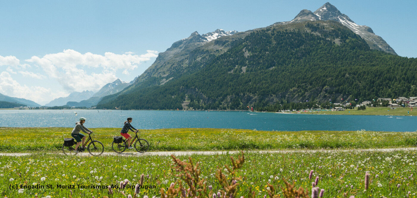
 | Starting point: Maloja: 1815 m above sea level Finishing point: Passau: 312 m above sea level |
Altitude difference start-finish: -1,503 m
Altitude difference uphill: 1,628 hm
Altitude difference downhill: 3,146 hm
Difficulty: easy to medium
Signposting: Signposting in Switzerland No. 65, in Austria R3, in Bavaria the Innradweg logo.
good to know: The Inn Cycle Path leads through three states. Accordingly, you should carry a travel document. German is spoken in all three countries.
Travelling times: From May to October. Due to its location, the route is not accessible all year round. Depending on altitude, winter can arrive earlier or later. In any case, please take warm clothing with you.
Our tip: The weather in the Alps can change rather quickly and may also cool down by a few degrees when it rains. Always take a warm piece of clothing with you and seek shelter early. Take the weather forecast into account when planning your trip.