 Are you looking for detailed information? Click here for the search function.
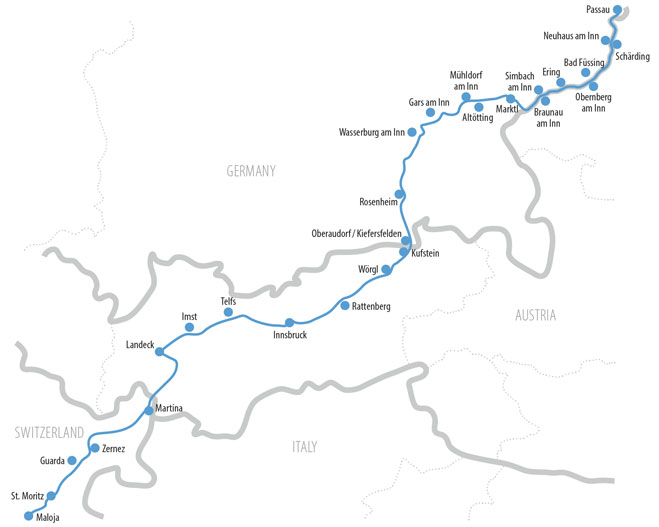
520 km across the Alps:
St. Moritz - Innsbruck - Passau
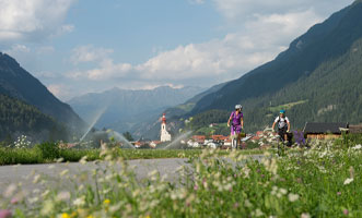
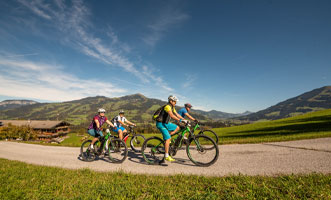
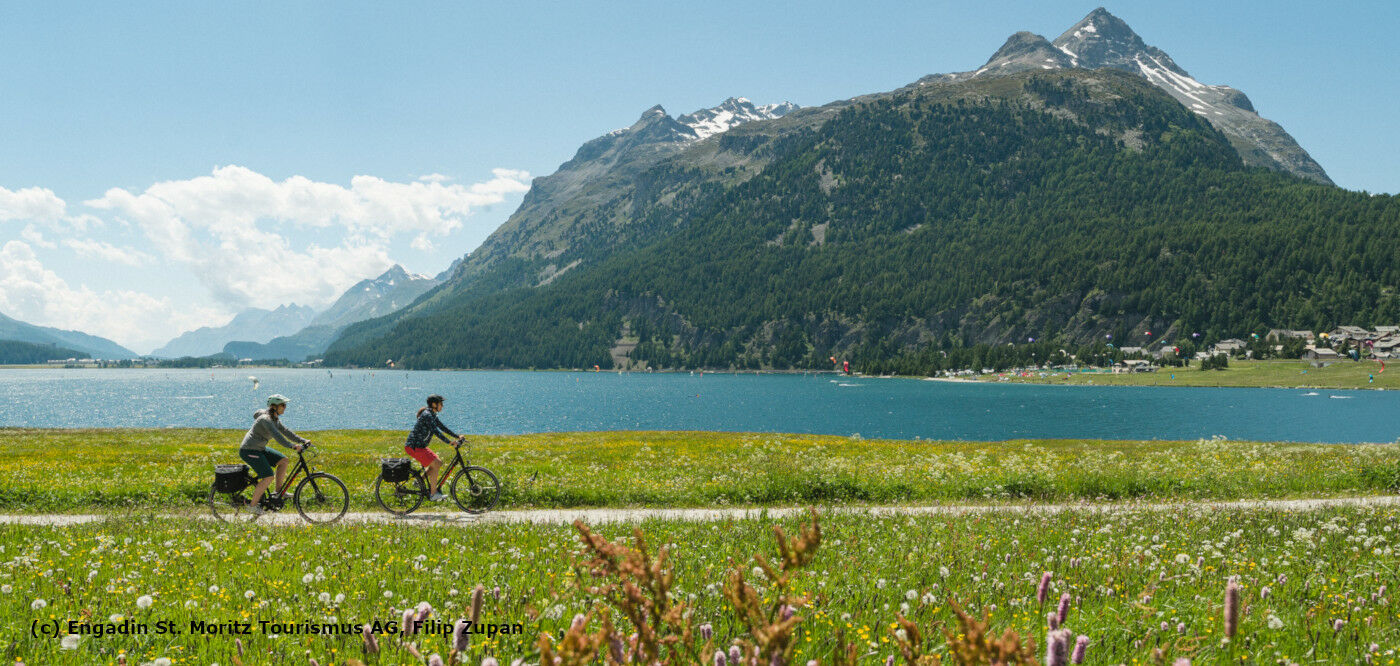
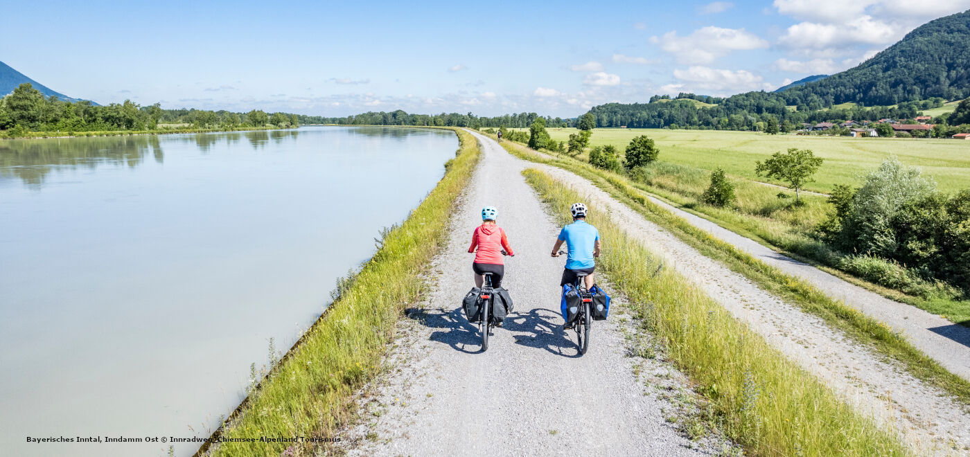
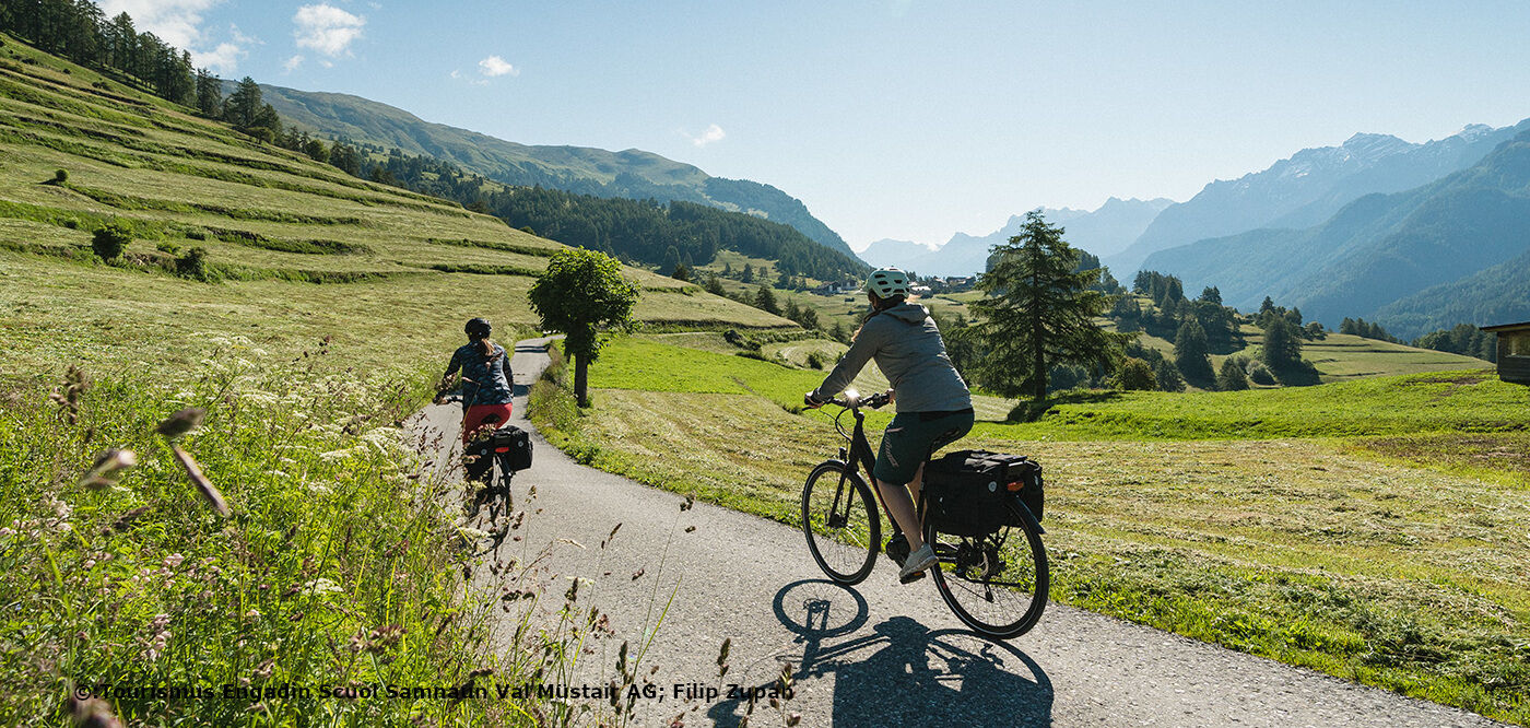
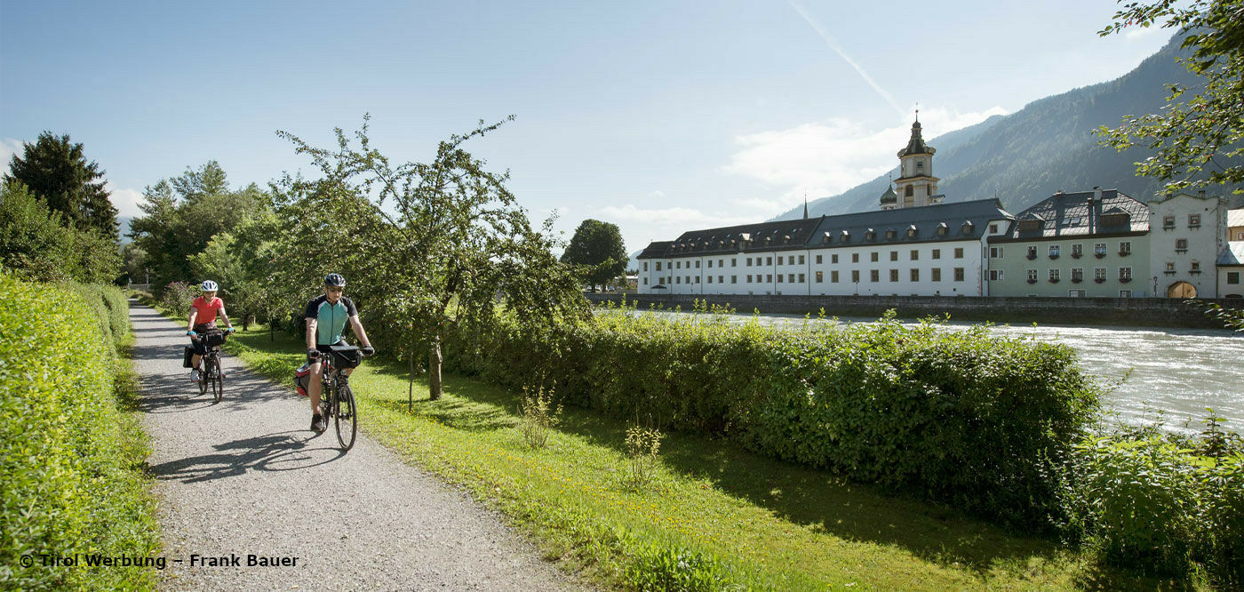
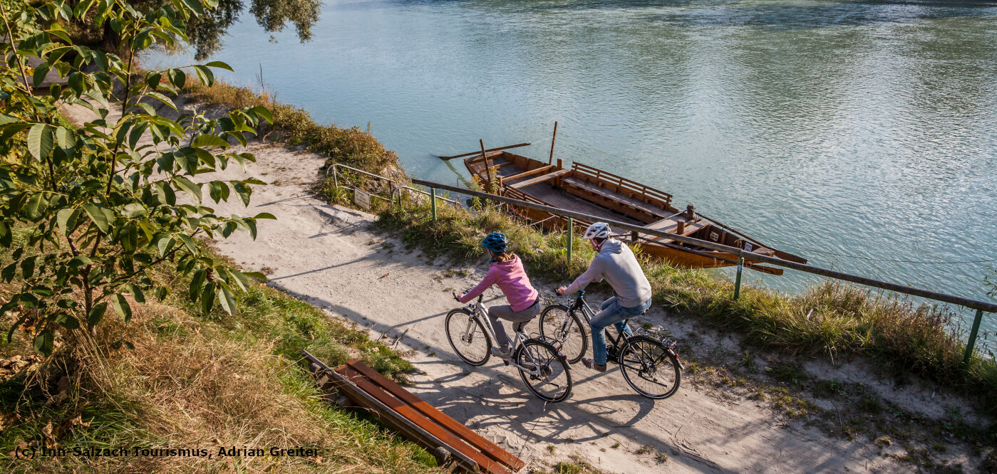
The Inn Cycle Path makes it easy to enjoy the Alps experience from your bike: 520 km with uphill and downhill sections along the River Inn, from its source at the Maloja Pass in Switzerland via Tirol to Passau in Germany. To begin with, it’s the rugged, mystical alpine panorama of Switzerland and the Tyrolean Oberland that captivates, with lush green meadows and the Engadine’s special light accompanying cyclists along the way. In Tirol, the valley becomes ever wider and the impressive mountains of Tirol, which flank the path to the left and right, are your constant companion here. The many historical cities and excursion destinations make it a pleasure to explore. After Kufstein, the path leads into the flatter, sometimes hilly alpine foothills of Bavaria and Upper Austria, where you will find reminders of the baroque period and unique wonders of nature such as the wetlands of the Oberer Inn European Nature Reserve. The crowning glory of this tour along the river is Passau, where the three rivers of the Inn, the Ilz and the Danube merge into one.
Join an exciting journey through three countries with fascinating alpine landscapes. Get to know different cultures, architectural styles, customs and traditions and enjoy authentic culinary specialities. You will find all of this along the Inn Cycle Path. The ease of river cycling will delight you!
Current closures at the Inn Cycle Path
Unfortunately, there are always closures and obstructions on the Inn Cycle Path. You can find an overview of all reported closures and obstructions on our digital map.We are endeavouring to record all closures in the affected regions as soon as possible and to delete them again.
Online Map of the Innradweg
All relevant information on and around the Inn Cycle Path. From route guidance to hotels, sights, roadworks and obstructions, you will find it all here.

Shuttle Service on Inn Cycle Path
From 3 ![]() May 2024 until probably 14 September 2024, a shuttle service from Innsbruck or Landeck to St. Moritz or Maloja will be available for our guests
May 2024 until probably 14 September 2024, a shuttle service from Innsbruck or Landeck to St. Moritz or Maloja will be available for our guests
You can reach Innsbruck or Landeck comfortably by train, from Innsbruck there is a shuttle to St. Moritz/Maloja.
The shuttle services can be booked at
You can find more information under our Services.